
Fun Places to Fly, Aviation Jobs and More!


Mineral Wells Regional Airport
MWl has a 6000' IFR runway.located just outside the DFW TCA. modestly priced fuel. crew car, rent cars, state parks, motels and restaruants near by. - Submitted by Jim
All destinations and events listed on this website were provided by visitors to our website. If you decide
to fly or drive to any destination listed, you do so at your own risk. Please see our disclaimer.
|
|
Amenities:  100LL
JET-A
Tiedowns 100LL
JET-A
Tiedowns
|
Airport Information:
|
Mineral Wells (MWL) Latitude: 32-46-53.7800N |
|
|
Location:
|
5300 Airport Rd. Mineral Wells, TX |
Comments and Reviews From FunPlacesToFly.com Visitors:
Write a review, suggest updates or make comments!
8/15/2021 - Although a nice airport, lots of training VFR and IFR pilots in uncontrolled environment. Be very cautious. - Submitted by KB
11/1/2012 - The Eagle Flying Museum EFM has located in the Old Syntec Autopilot Hangar. Warbirds like the T-6, PT 17, PT 26 are on display and all of them fly. Great New Operation that features open events,Fly Marts, Car and motorcycle shows, Party space, Flight Advanced Training. www.eagleflyingmuseum.org - Submitted by Robert Ellis
Nearby Public Airports: (50 mile radius)
|
Photos:
All photos shown below are provided/uploaded by visitors to our website, which have agreed to our Photo Submission Rules.
Got a photo?, share it with us
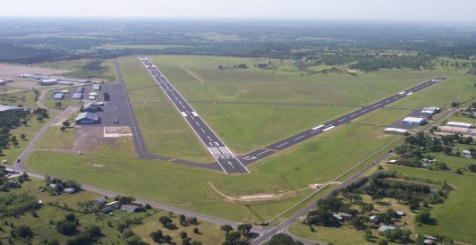
Mineral Wells Municipal Airport - Uploaded by Michael

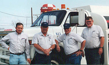
Mineral Wells Crew - Uploaded by Michael
Mineral Wells Crew - Uploaded by Michael
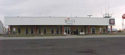
Mineral Wells Terminal - Uploaded by Michael
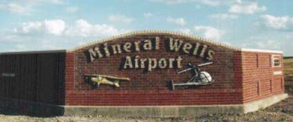
Mineral Wells Entrance Sign - Uploaded by Michael
All photos shown below are provided/uploaded by visitors to our website, which have agreed to our Photo Submission Rules.
Got a photo?, share it with us
Mineral Wells Municipal Airport - Uploaded by Michael
Mineral Wells Crew - Uploaded by Michael
Mineral Wells Crew - Uploaded by Michael
Mineral Wells Terminal - Uploaded by Michael
Mineral Wells Entrance Sign - Uploaded by Michael
FunPlacesToFly.com is an Amazon Associate. As an Amazon Associate we earn from qualifying purchases.


Advertise with us!
 |
 |
 |
 |
 |
 |
 |
 |
 |
 |
 |
 |