
Aviation Events, Places to Fly and MORE!

Receive our Email Newsletters about upcoming Aviation Events, Great Places to Fly and Videos! Post our Flyer! Add Your Favorite Place to Fly!
Add Your Aviation Event!
Harbor Springs Airport
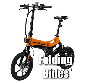
Nice little airport in northern Michigan on Little Traverse Bay. A courtesy car is available although we brought our folding bikes because we heard there was a trail which ran from Harbor Springs through Petoskey to Charlevoix, an area known as Michigan's Gold Coast.
All destinations and events listed on this website were provided by visitors to our website. If you decide
to fly or drive to any destination listed, you do so at your own risk. Please see our disclaimer.
The bike trail is a former railroad track which mostly follows the shoreline of the Little Traverse Bay and runs past the approach end of runway 28. The trail is a wide, paved, landscaped path with only slight slopes, and has many scenic lookouts and parks along the way. There is easy access to downtown shopping and restaurants from the trail. Bed and breakfasts and hotels from the quaint to the elaborate can be found along the path as well as a couple of campgrounds, one of which is located in Petoskey State Park.. There is also a place right on the trail which rents bikes if you don't have your own to bring. - Submitted by Doug |
|
Amenities:  100LL
JET-A 100LL
JET-A
|
Contact Information:
Email: hsair@chartermi.net
Email: hsair@chartermi.net
Airport Information:
|
Harbor Springs (MGN) Latitude: 45-25-31.7000N |
|
|
Location:
|
8350 M-119 Harbor Springs, MI |
Comments and Reviews From FunPlacesToFly.com Visitors:
Write a review, suggest updates or make comments!
Write a review, suggest updates or make comments!
- No reviews so far
FunPlacesToFly.com is an Amazon Associate. As an Amazon Associate we earn from qualifying purchases.


Nearby Public Airports: (50 mile radius)
|
Photos:
All photos shown below are provided/uploaded by visitors to our website, which have agreed to our Photo Submission Rules.
Got a photo?, share it with us
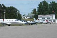
Ramp and Terminal - Uploaded by Smitty
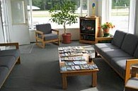
Facilities - Uploaded by Smitty
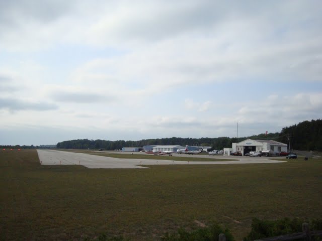
Runway 28 as seen from the bike path - Uploaded by Doug
All photos shown below are provided/uploaded by visitors to our website, which have agreed to our Photo Submission Rules.
Got a photo?, share it with us
Ramp and Terminal - Uploaded by Smitty
Facilities - Uploaded by Smitty
Runway 28 as seen from the bike path - Uploaded by Doug

Advertise with us!
 |
 |
 |
 |
 |
 |
 |
 |
 |
 |
 |
 |
 |