
Fun Places to Fly, Aviation Jobs and More!


Vermillion Regional Airport

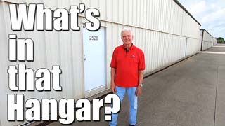
Home to Midwest Areo Restorations - restored Warbirds.
All destinations and events listed on this website were provided by visitors to our website. If you decide
to fly or drive to any destination listed, you do so at your own risk. Please see our disclaimer.
used one of the courtesy cars to drive to Dave's Double Barrel BBQ - amazing BBQ - Submitted by PATRICK WELLNITZ |
|
Amenities:  100LL
Courtesy Car(s)
FBO
Flight Planning Room
Hangar Space
JET-A
Museum
Pilot Lounge
Self Serve 100LL
Terminal/Lounge
Vending Machines 100LL
Courtesy Car(s)
FBO
Flight Planning Room
Hangar Space
JET-A
Museum
Pilot Lounge
Self Serve 100LL
Terminal/Lounge
Vending Machines
|
Contact Information:
Phone: 2174424624
Phone: 2174424624
Airport Information:
|
Vermilion Regional (DNV) Latitude: 40-11-58.9000N |
|
|
Location:
|
22633 N Bowman Ave Danville, IL |
Comments and Reviews From FunPlacesToFly.com Visitors:
Write a review, suggest updates or make comments!
Write a review, suggest updates or make comments!
- No reviews so far
Nearby Public Airports: (50 mile radius)
|
Photos:
All photos shown below are provided/uploaded by visitors to our website, which have agreed to our Photo Submission Rules.
Got a photo?, share it with us
All photos shown below are provided/uploaded by visitors to our website, which have agreed to our Photo Submission Rules.
Got a photo?, share it with us
- No photos so far
FunPlacesToFly.com is an Amazon Associate. As an Amazon Associate we earn from qualifying purchases.


Advertise with us!
 |
 |
 |
 |
 |
 |
 |
 |
 |
 |
 |