
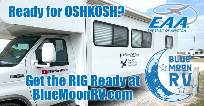
Fun Places to Fly, Aviation Jobs and More!


New London Airport
|
W90 is a small airport with a rich history, much character, and great community. It has its origins as a drag strip in the 50's which eventually became an airport soon after. Many of the tenants recall the glory days, share fantastic aviation stories as well as provide amazing instruction to student's who train there now. The airport lies on a beautiful piece of land that includes several ponds, farm land acreage, and woods. areas. One especially unique aspect of the airfield is that it is host to a Fly'In Church of pilots and enthusiasts who meet each week to fly, fellowship, play music, have cookouts, and use their talents for Christ's cause! Locally famous, New London Steakhouse is just down the street, hiking in the beautiful Blue Ridge mountains is a great activity, and the D-Day memorial in the next town over. Camping and a Fly-In cafe are in progress, and If you want to meet the most friendly airport dog who loves to fly, check out W90! - Submitted by Olivia Fuller
All destinations and events listed on this website were provided by visitors to our website. If you decide
to fly or drive to any destination listed, you do so at your own risk. Please see our disclaimer.
|
|
Amenities:  Aircraft Parts
Camping
Fishing
Flight Training
Hangars
Hiking
Maintenance
Pilot Lounge
Restrooms
Sightseeing
Tiedowns
WIFI Aircraft Parts
Camping
Fishing
Flight Training
Hangars
Hiking
Maintenance
Pilot Lounge
Restrooms
Sightseeing
Tiedowns
WIFI
|
Airport Information:
|
New London (W90) Latitude: 37-16-18.2200N |
|
|
Location:
|
1435 28th St. S Apt. 10 Forest, VA |
Comments and Reviews From FunPlacesToFly.com Visitors:
Write a review, suggest updates or make comments!
Write a review, suggest updates or make comments!
- No reviews so far
Nearby Public Airports: (50 mile radius)
|
Photos:
All photos shown below are provided/uploaded by visitors to our website, which have agreed to our Photo Submission Rules.
Got a photo?, share it with us
All photos shown below are provided/uploaded by visitors to our website, which have agreed to our Photo Submission Rules.
Got a photo?, share it with us
- No photos so far
FunPlacesToFly.com is an Amazon Associate. As an Amazon Associate we earn from qualifying purchases.


Advertise with us!
 |
 |
 |
 |
 |
 |
 |
 |
 |
 |
 |
 |