
Fun Places to Fly, Aviation Jobs and More!


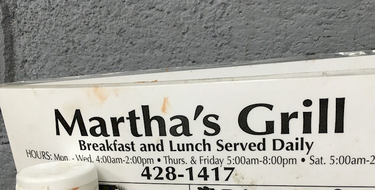
Martha's Restaurant

Martha's Restaurant is a short walk from the FBO. Walk across the field at the end of the ramp, which usually has a mowed path, or cross the runway and follow the road around. Good food and reasonably priced. - Submitted by Walt Weaver
All destinations and events listed on this website were provided by visitors to our website. If you decide
to fly or drive to any destination listed, you do so at your own risk. Please see our disclaimer.
|
|
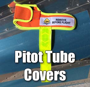
Amenities:  Tiedowns Tiedowns
|
Contact Information:
Phone: 910-428-9882
Phone: 910-428-9882
Airport Information:
|
Montgomery County (43A) Latitude: 35-23-04.7560N |
|
|
Location:
|
Star, NC |
Comments and Reviews From FunPlacesToFly.com Visitors:
Write a review, suggest updates or make comments!
8/19/2024 - I think Martha's Grill is the best $96 dollar hamburger there is.. I say $96 instead of $100 because their awesome burgers are only $4! - Submitted by Scott Maitland
7/24/2021 - Just a short walk from the airport. Look for the path on the NE corner of the apron. Food is what you would expect from a small neighborly diner. Delicious and inexpensive! Cash only, but ATM inside the building. - Submitted by Jason
Nearby Public Airports: (50 mile radius)
|
Photos:
All photos shown below are provided/uploaded by visitors to our website, which have agreed to our Photo Submission Rules.
Got a photo?, share it with us
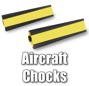
Stopped by Montgomery County Airport February 13th 2016 at about 9:00am. No one was at the airport office, which seemed odd, but no worries. Tie down ropes were beat up, I'd recommend you bring your own chocks, I simply forgot mine, but found a couple of big rocks to keep the SkyHawk still. To shorten your walk over to Martha's, I recommend walking off the North end of the runway, down the hill, turn right and follow the gravel driveway, it'll lead right to Martha's. Food was exactly what you'd expect from a little, small town breakfast joint. French toast was delicious. The service was amazing, I felt like a regular there, very welcoming and friendly staff. - Uploaded by Phillip Loposser
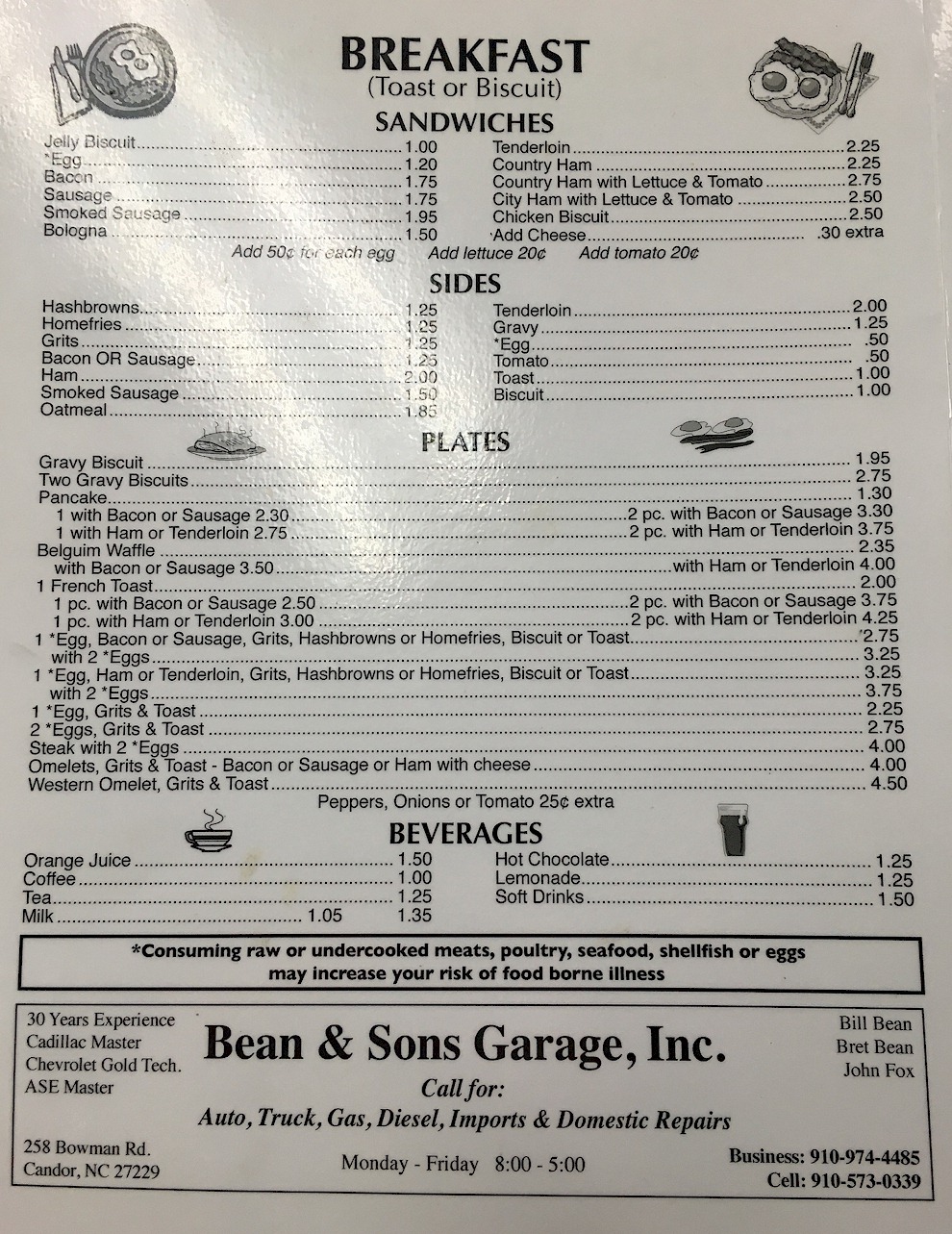
The Menu at Martha's Grill as of February 13th, 2016 - Uploaded by Phillip Loposser
All photos shown below are provided/uploaded by visitors to our website, which have agreed to our Photo Submission Rules.
Got a photo?, share it with us
Stopped by Montgomery County Airport February 13th 2016 at about 9:00am. No one was at the airport office, which seemed odd, but no worries. Tie down ropes were beat up, I'd recommend you bring your own chocks, I simply forgot mine, but found a couple of big rocks to keep the SkyHawk still. To shorten your walk over to Martha's, I recommend walking off the North end of the runway, down the hill, turn right and follow the gravel driveway, it'll lead right to Martha's. Food was exactly what you'd expect from a little, small town breakfast joint. French toast was delicious. The service was amazing, I felt like a regular there, very welcoming and friendly staff. - Uploaded by Phillip Loposser
The Menu at Martha's Grill as of February 13th, 2016 - Uploaded by Phillip Loposser
FunPlacesToFly.com is an Amazon Associate. As an Amazon Associate we earn from qualifying purchases.


Advertise with us!
 |
 |
 |
 |
 |
 |
 |
 |
 |
 |
 |