
Fun Places to Fly, Aviation Jobs and More!


Texas Air Museum
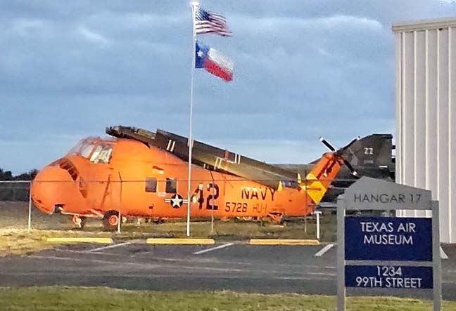
This museum's focus extends from the earliest days of flight to the present. Particular emphasis is given to early (pre-World War II) aviation, the history of aviation in Texas and Mexico, agricultural aviation, the World War II Eastern Front, Korea. Hours of Operation: Tuesday thru Saturday - 9AM to 4PM, Closed Sundays & Mondays
All destinations and events listed on this website were provided by visitors to our website. If you decide
to fly or drive to any destination listed, you do so at your own risk. Please see our disclaimer.
- Submitted by Smitty |

Airport Information:
|
Stinson Muni (SSF) Latitude: 29-20-13.1360N |
|
|
Location:
|
8406 Cadmus San Antonio, TX |
Comments and Reviews From FunPlacesToFly.com Visitors:
Write a review, suggest updates or make comments!
2/10/2022 - The Texas Air Museum at Stinson Municipal Airport hours are 9AM to 4PM Tuesday to Saturday. - Submitted by Luis John Soria
12/5/2012 - Could not get a signal for my cell phone. could not call the restaurant to pick us up, nor to get fuel. Plan for possible fly somewhere else for fuel as there is no pay with credit card at pump. - Submitted by Jorge
Nearby Public Airports: (50 mile radius)
|
Photos:
All photos shown below are provided/uploaded by visitors to our website, which have agreed to our Photo Submission Rules.
Got a photo?, share it with us
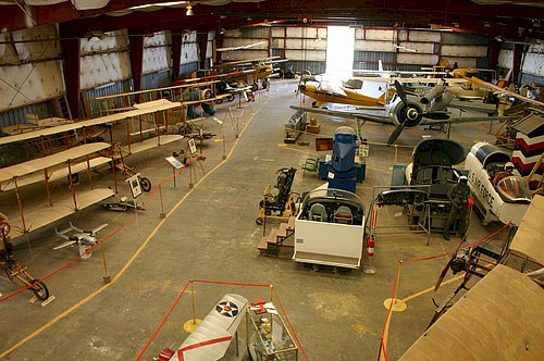
A view of the Texas Air Museum exhibits - Uploaded by Ed
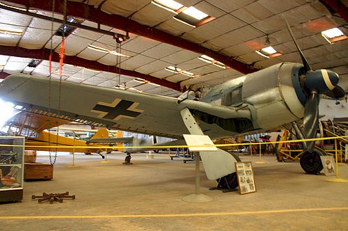
Rare Focke-Wulf 190 - Uploaded by Ed
All photos shown below are provided/uploaded by visitors to our website, which have agreed to our Photo Submission Rules.
Got a photo?, share it with us
A view of the Texas Air Museum exhibits - Uploaded by Ed
Rare Focke-Wulf 190 - Uploaded by Ed
FunPlacesToFly.com is an Amazon Associate. As an Amazon Associate we earn from qualifying purchases.


Advertise with us!
 |
 |
 |
 |
 |
 |
 |
 |
 |
 |
 |
 |