Aviation Events, Places to Fly and MORE!

Aviation Events Calendar
Receive our Email Newsletters about upcoming Aviation Events, Great Places to Fly and Videos! Post our Flyer!

How far is that Airport?
Distance Calculator!

Saturday, Aug 17, 2024

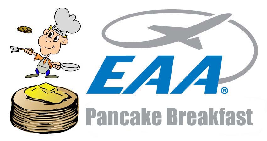
EAA Pancake Breakfast, Clearfield, PA

* * Search for More Events by Zip Code or Airport ID!

* * Print out a Flyer for this EVENT!

Share on:
All destinations and events listed on this website were provided by visitors to our website. If you decide to fly or drive to any destination listed, you do so at your own risk.
Please see our disclaimer.

Clearfield Airport (FIG), Clearfield, PA

Come join us for a delicious breakfast and support your local airport! Pancakes, eggs, omelets, sausage, french toast, and plenty of breakfast beverages!
Car Cruise-In: Bring your car, bring your bike, bring yourself!
Adult -$10
Children under 12 - $5
8am-12pm

Located at 801 Airport Road, Clearfield PA.


Website: https://www.facebook.com/profile.php?id=100080108902516
Airport Information:
Clearfield-Lawrence (FIG)
More info from AirNav.com

Latitude: 41-02-56.8810N
Longitude: 078-24-54.5685W
Elevation: 1516
Fuel: 100LL Jet-A
CTAF: 122.725
Unicom: 122.725
Input Your Airport ID:
Destination Airport ID:
Mileage Type:


See it on a Large Google Map!


FunPlacesToFly.com is an Amazon Associate. As an Amazon Associate we earn from qualifying purchases.
Nearby Public Airports: (75 mile radius)
ID Name City/State/Use Chart Name Distance
1N3 Albert Philipsburg, PA
Public
Detroit 10 miles
PSB Mid-State Philipsburg, PA
Public
Detroit 21 miles
OYM St Marys Muni St Marys, PA
Public
Detroit 26 miles
DUJ Dubois Rgnl Dubois, PA
Public
Detroit 27 miles
N35 Punxsutawney Muni Punxsutawney, PA
Public
Detroit 27 miles
UNV University Park State College, PA
Public
Detroit 33 miles
N96 Bellefonte Bellefonte, PA
Public
Detroit 33 miles
6G6 Cove Valley Williamsburg, PA
Public
Detroit 42 miles
N16 Centre Airpark Centre Hall, PA
Public
Detroit 43 miles
N74 Penns Cave Centre Hall, PA
Public
Detroit 44 miles
9G8 Ebensburg Ebensburg, PA
Public
Detroit 45 miles
7G4 Blue Knob Valley Newry, PA
Public
Detroit 45 miles
IDI Indiana County/jimmy Stewart Fld/ Indiana, PA
Public
Detroit 46 miles
RVL Mifflin County Reedsville, PA
Public
Detroit 49 miles
LHV William T Piper Memorial Lock Haven, PA
Public
Detroit 52 miles
AOO Altoona-Blair County Altoona, PA
Public
Detroit 52 miles
BFD Bradford Rgnl Bradford, PA
Public
Detroit 53 miles
AXQ Clarion County Clarion, PA
Public
Detroit 55 miles
JST John Murtha Johnstown-Cambria Co Johnstown, PA
Public
Detroit 55 miles
P34 Mifflintown Mifflintown, PA
Public
Detroit 61 miles
P96 Jersey Shore Jersey Shore, PA
Public
Detroit 63 miles
6P7 Mcville Freeport, PA
Public
Detroit 65 miles
HMZ Bedford County Bedford, PA
Public
Washington 67 miles
8G3 Giermek Executive Olean, NY
Public
Detroit 70 miles
N38 Wellsboro Johnston Wellsboro, PA
Public
Detroit 71 miles
P15 Brokenstraw Pittsfield, PA
Public
Detroit 73 miles
LBE Arnold Palmer Rgnl Latrobe, PA
Public
Detroit 75 miles
Fun Places to Fly Search:
Your Airport ID:
* OR *
Your Zip Code:
Range (miles):
Airport Search:
ID, Name
or City:
State:
Airport Distance Calculator:
From Airport ID:
To Airport ID:
Mileage Type:
Put this on your Website!